Determining the origin of Haxby lineaments using magnetotelluric and bathymetric data
David Sandwell,
Steven Constable,
The deep ocean is one of the last uncharted frontiers on our planet. The seafloor
in particular holds numerous unsolved mysteries. One of these is the presence of regular,
wave-like fluctuations in the strength of Earth’s gravity above the seafloor.
These gravity fluctuations are small but repeat over regular intervals about 150-200 km
wide and can be clearly detected by satellites orbiting the Earth. As yet, however,
no one knows what causes them. One idea is that the seafloor cracks at regular
intervals of 150-200 km as it cools from the top down, causing the crust to bow upward
in between. This flexure displaces seawater (which is less dense than rock),
causing the increase in the strength of Earth’s gravity. Another possible explanation
is that the hot, deformable rocks in the planet’s mantle beneath the ocean crust form
convection cells roughly 150-200 km across. The warmer, less dense, upwelling mantle
would reduce the strength of Earth’s gravity (because it contains less mass per unit
volume) relative to the colder downwelling segments. Finally, some scientists have
proposed that thin, finger-shaped channels of partly melted rock (roughly 150-200 km
apart) beneath the crust produce the gravity fluctuations because partly melted rock
is less dense than completely solid rock.
This project will find out which of these theories is correct—or perhaps discover the answer is something
altogether unexpected—by deploying instruments designed to measure the electrical conductivity of the seafloor
along two 600 km lines that cover two full cycles of the gravity fluctuations.
These instruments will allow us to detect the presence
of convection cells or partially molten channels in the mantle. Meanwhile, we will also accurately map
the seafloor depth in a region 100 km to either side of the seafloor electromagnetic instrument line.
These data will allow us to detect the presence of cracking and bending in the crust as well as the
presence of convection cells, which push the crust upward similar to the cracking and bending process.
Regardless of what is causing the gravity fluctuations, the answer will reveal more about the dynamics
of our planet beneath the oceans and how plate tectonics works.
Funded by the National Science Foundation – OCE 2211895
Here's an attempt to explain to a non-scientist what marine EM is all about (4.7 Mb pdf)
Preliminary Cruise Report (27.5 Mb pdf)

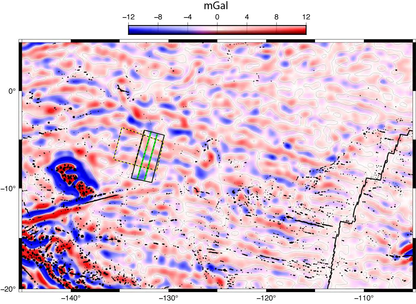
Pacific plate gravity rolls, and the location of our experiment (black box) and EM instrument lines (green).

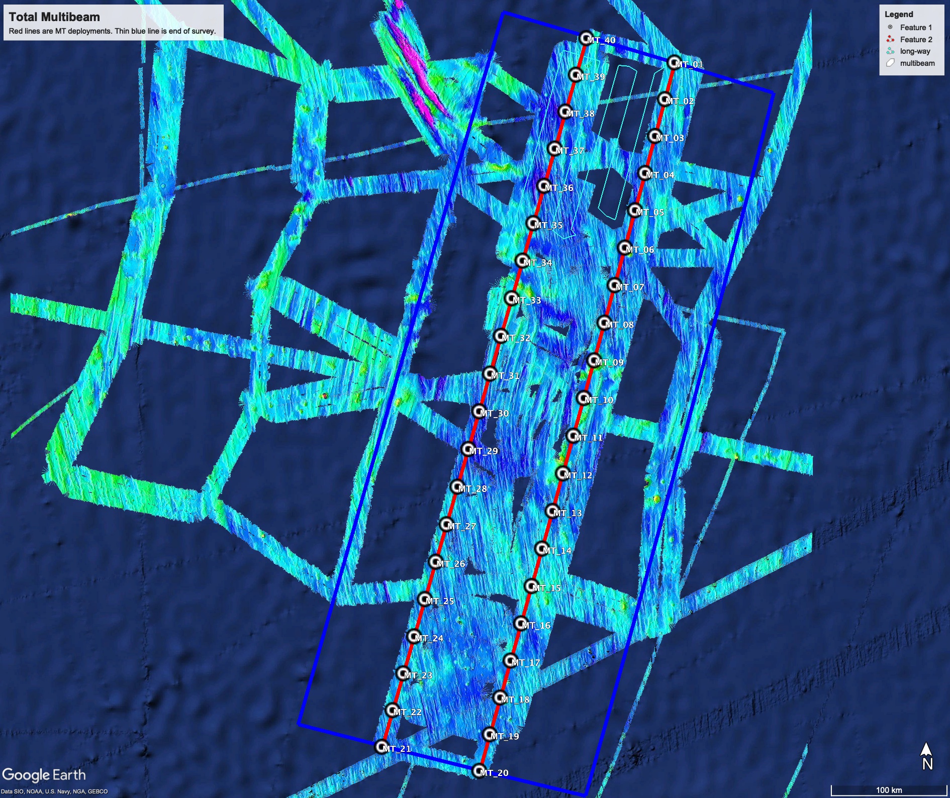
January 26th: Starting the recovery of the MT instruments (circles). Here is the bathymetry map so far.
We have not been able to collect all the data we had hoped for because the ship's speed has been reduced to conserve fuel,
but we have filled in the area between the MT stations, which should tell us what we need to know. Note the change in the direction of the
abyssal hill fabric in the center of the survey area.

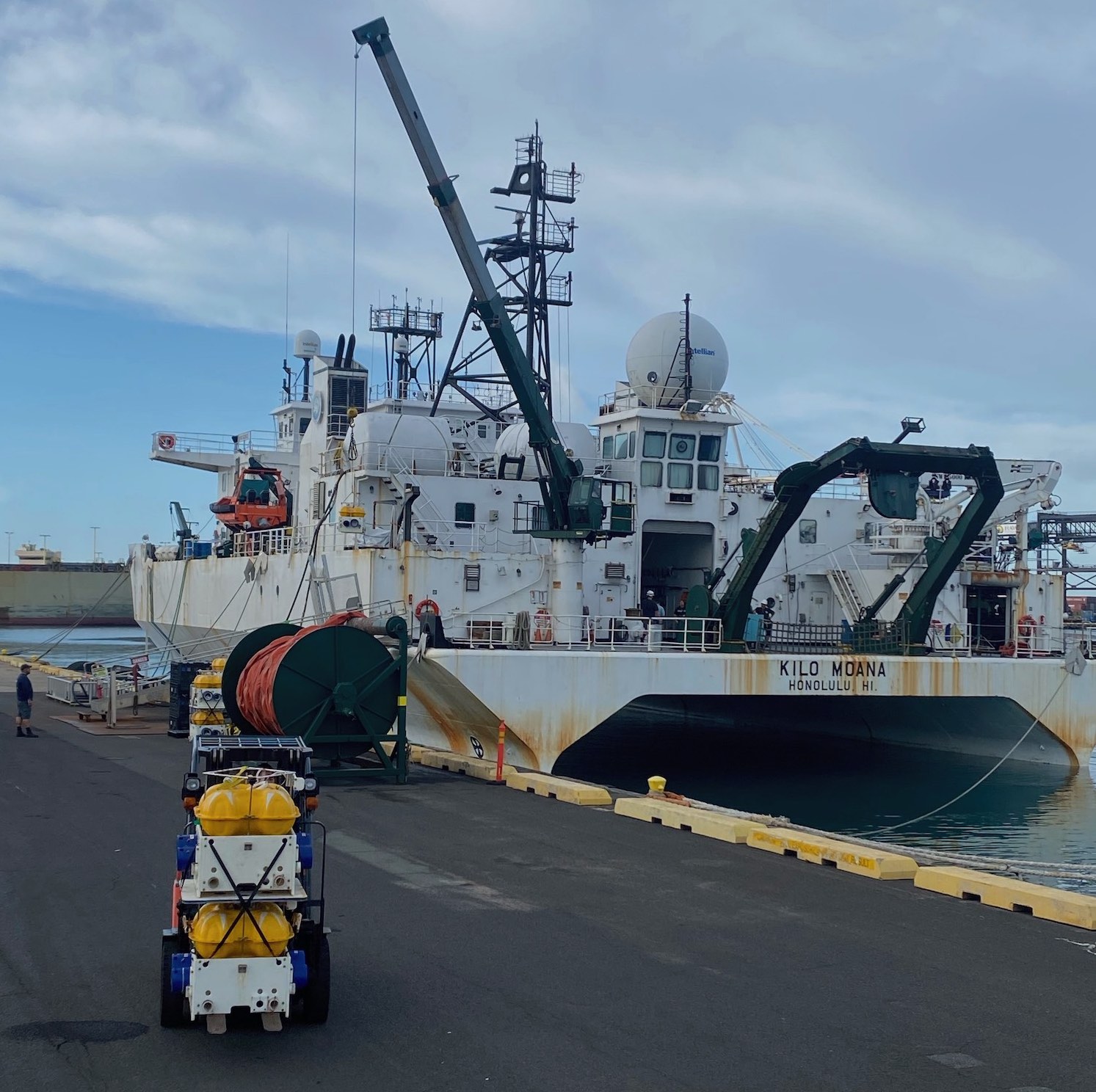
January 4th: Loading the instruments - you can't leave until everything in on the ship. In this case the ship is the R.V. Kilo Moana.

January 5th: The last supper ashore, and the last meal with "adult beverages" for a long time.

January 14th: Crossing the equator. The pollywogs are having way more fun than when I (Steve) did this, in November 2000 on the R.V. Charles
Darwin. The Brits who had crossed before were merciless. There's a movie around of me gagging while being force-fed a garlic pill.

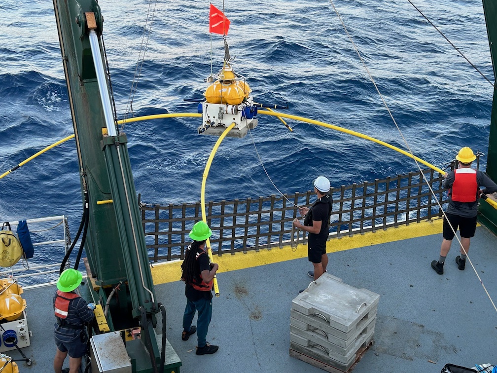
January 15th: This is what we came for! Deploying the first seafloor MT instrument.
|