Research | GoM Hydrate
Marine Electromagnetic Methods for Gas Hydrate Characterization
EM Lab Personnel:
Peter Kannberg, Steven Constable

Description:
Continuing our efforts to develop and exploit marine EM methods for assessing gas hydrate reserves, we will survey 4 prospects
in the Gulf of Mexico that have been targeted by drilling programs.
Funding for this work came from DoE/NETL and BOEM, and the SEMC.
Download the Preliminary Cruise Report
What is marine CSEM?
What are gas hydrates?
Real-time (at the time) Cruise Updates:
Steve's daily Log from
the R.V. Point Sur
Animated movie of Vulcan deeptow over Green Canyon.
Selected Images (most recent at the top):
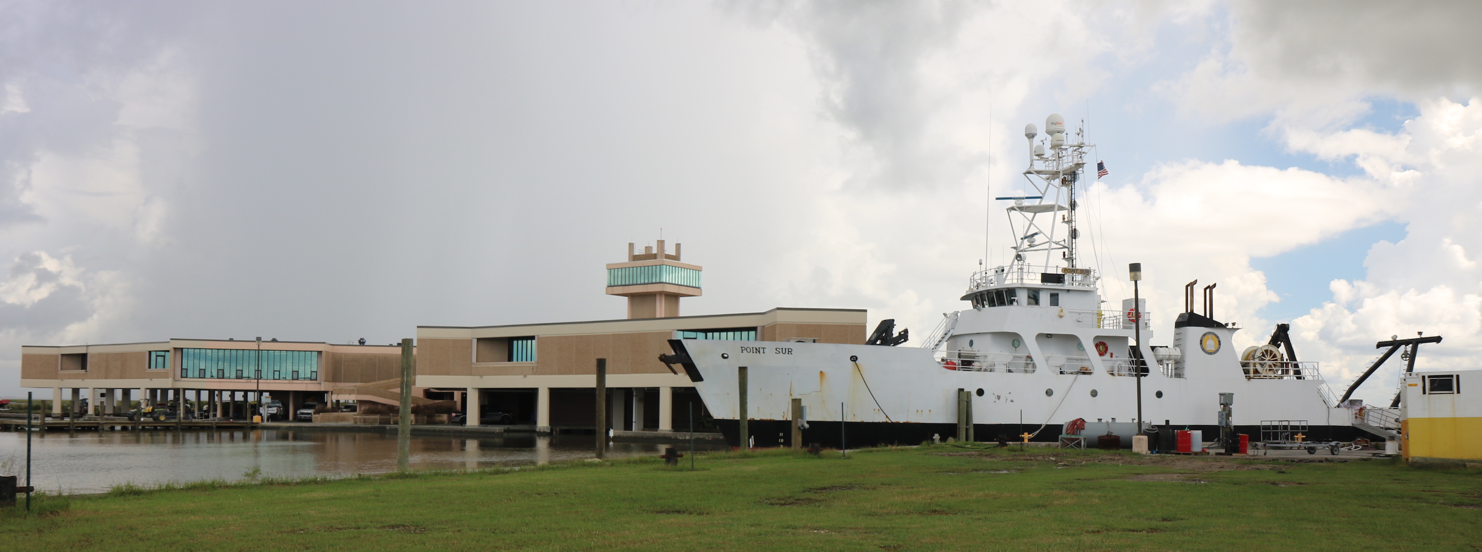
12 July. R.V. Point Sur tied up at LUMCON, Cocodrie.
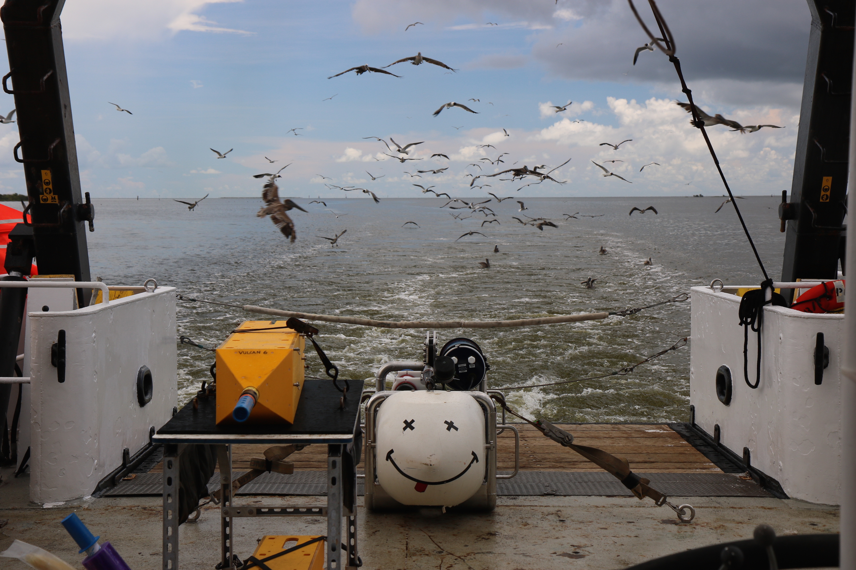
11 July. Coming in to Cocodrie: SUESI has some followers.
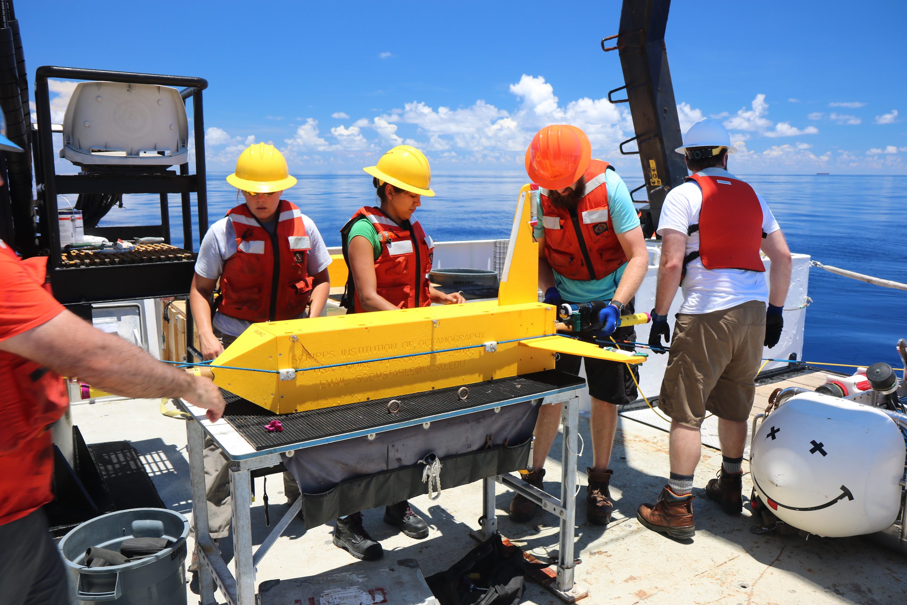
10 July. Vulcan 2 on deck about to be removed from the array, electrodes removed, and data recovered.
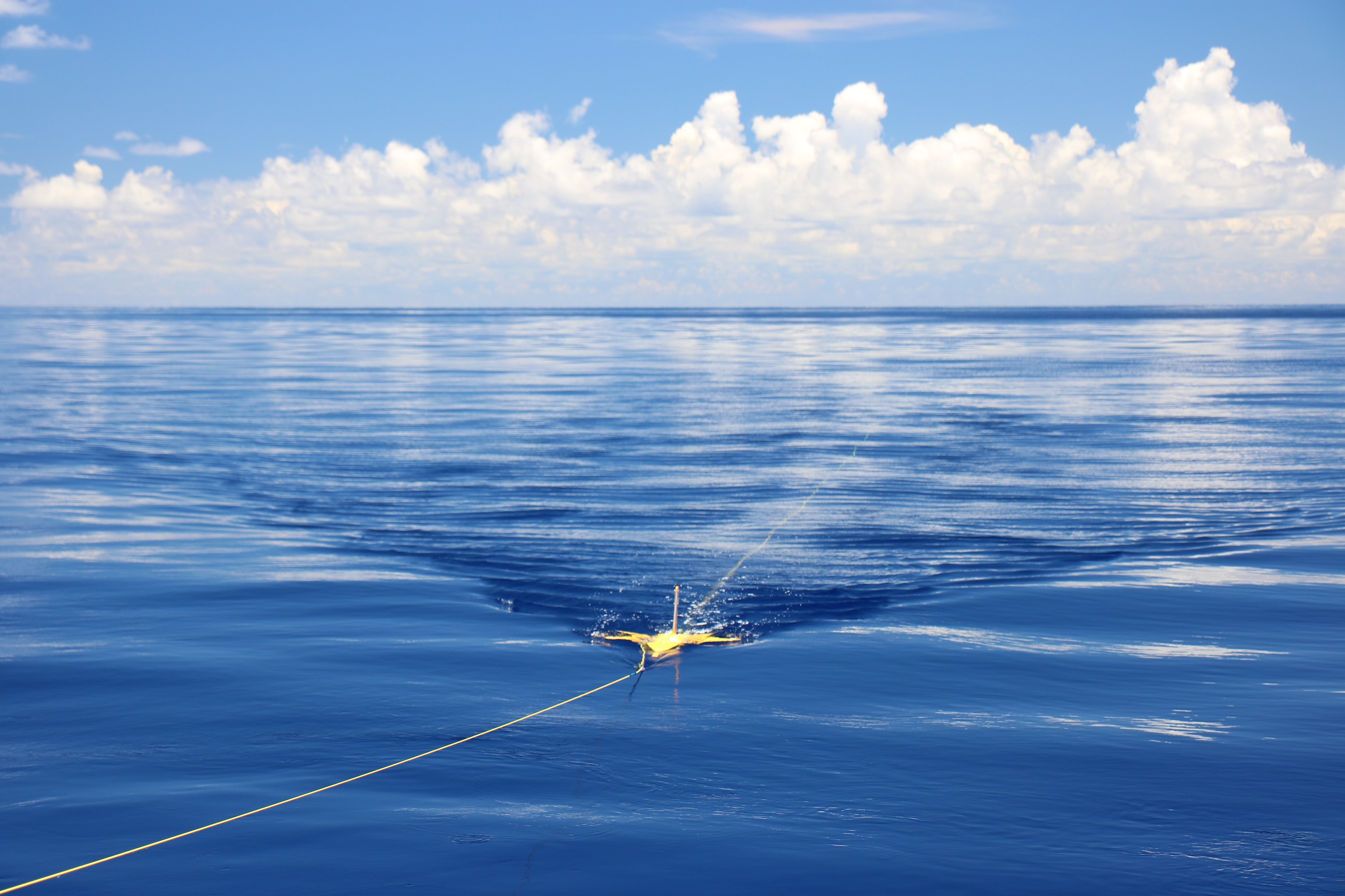
10 July. Vulcan 2 about to be recovered.

8 July. Moon rise over the A-frame on Green Canyon 955.
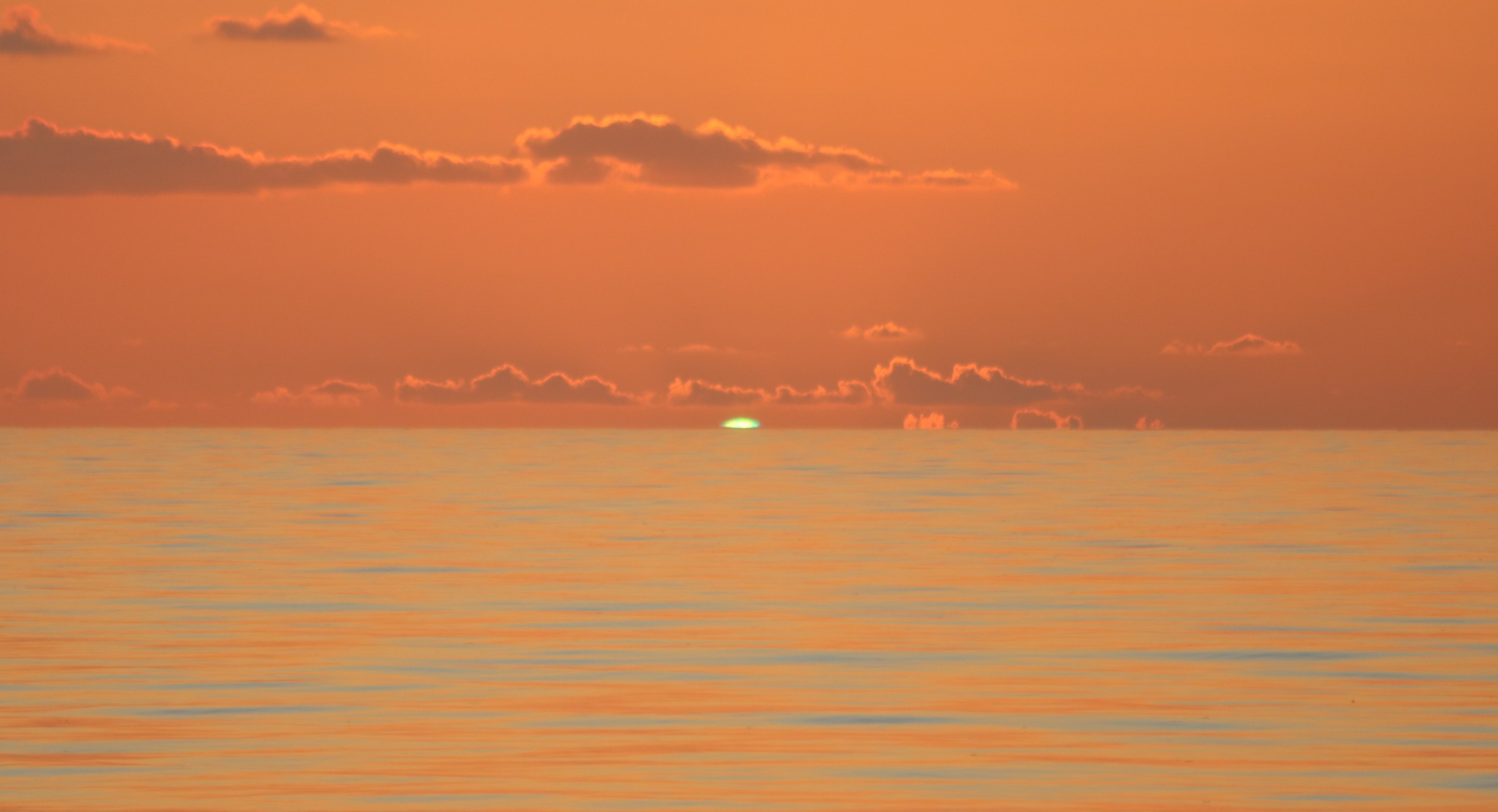
8 July. Green flash on Green Canyon 955.
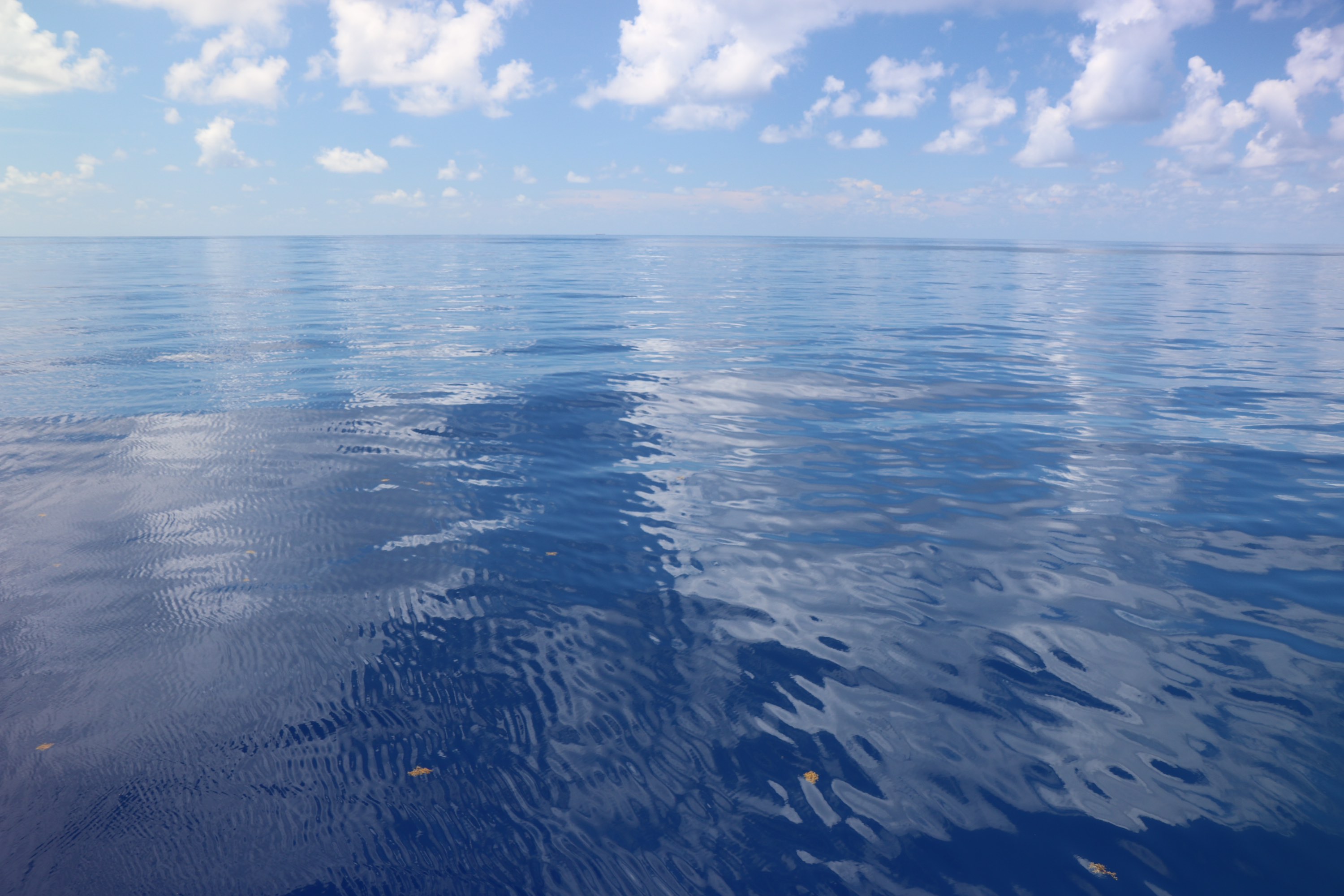
8 July. Glassy seas on Green Canyon 955.
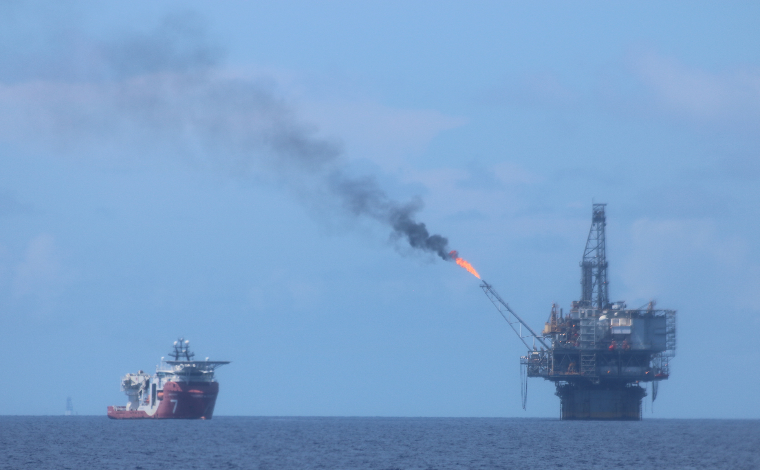
6 July. The hydrocarbon age is not yet dead. Mad Dog production platform on Green Canyon 781.
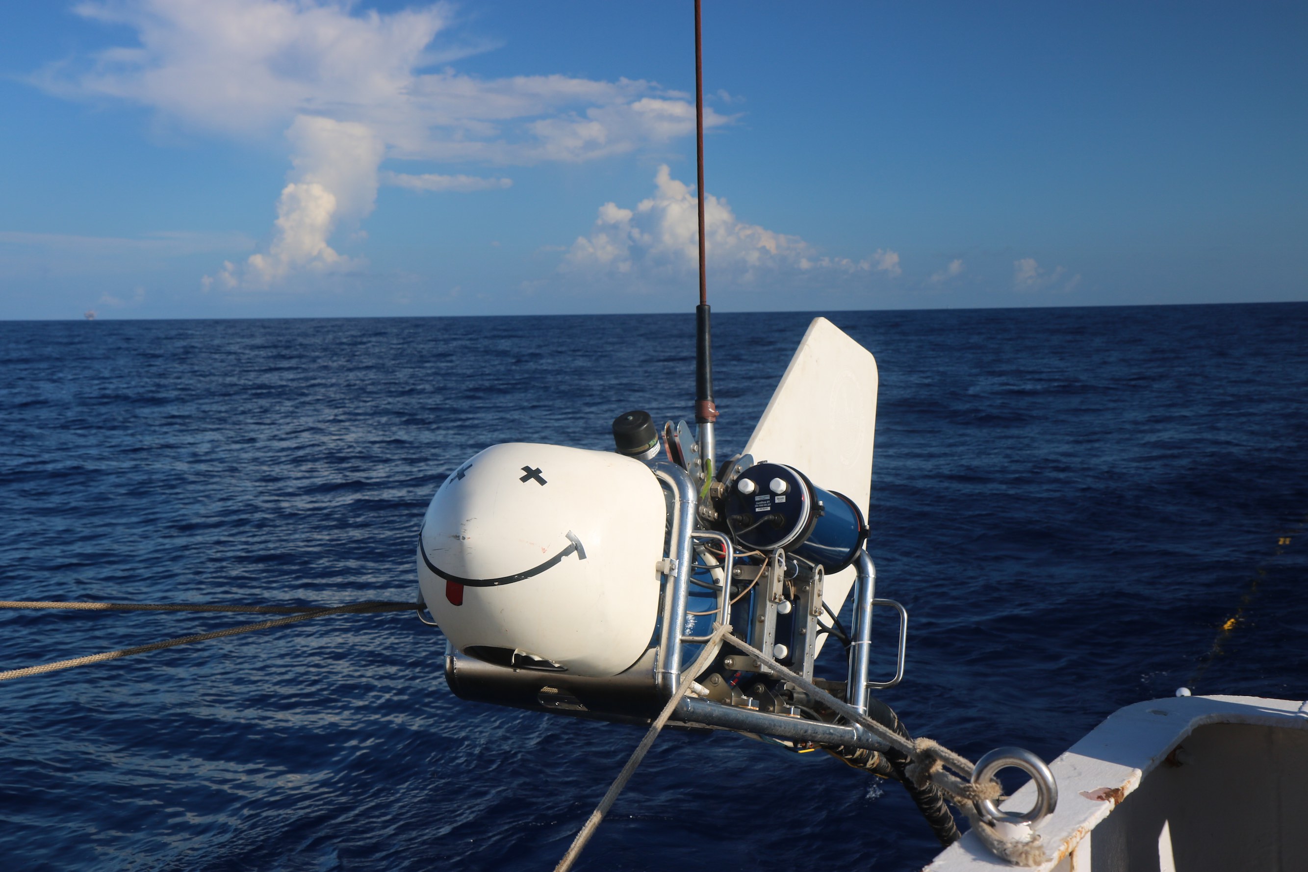
6 July. SUESI being deployed on the morning of the 6th. If all goes well, this will be her
last deployment this trip, although we will be running her for 3-4 days over two prospects.

3 July. This is a screen shot of our "SUESI-GUI" (thanks Rupert!). This nifty bit of MATLAB turns the stream
of data coming up from SUESI (lower left box) into something we can see. Output current is 265 amps (top middle), and
our 2-second "waveform-D" is bottom middle. The right panels (going down) show temperatures in SUESI, SUESI depth (black)
and seafloor (red), SUESI altitude, and, finally (lower right), the depths of SUESI (triangle) and the Vulcan array (squares).
We are proud of this. Our 1600 m long array is flying within 5 m of level (here
we are beginning to haul SUESI in, as can be seen from the little "comet tails").

3 July. Time for the nerdy stuff! This is a spectrogram of data from 1200 m Vulcan on our first deployment.
Vertical axis is frequency and
horizontal axis is time (2.5 days). Color scale is horizontal electric field power. The horizontal lines
at 0.5 Hz, 1.5 Hz and higher frequencies are our signal, which gets smaller during turns when we lift the array
away from the seafloor between tow lines (eight tow lines total, seen as green blotches). The red band at 0.2 Hz is
wave noise being transmitted from the ship, to SUESI, and then to the Vulcan array. Interestingly, the breaks
in this band are when we are winching SUESI in and out during turns. I think the winch is acting as a heave
compensator.
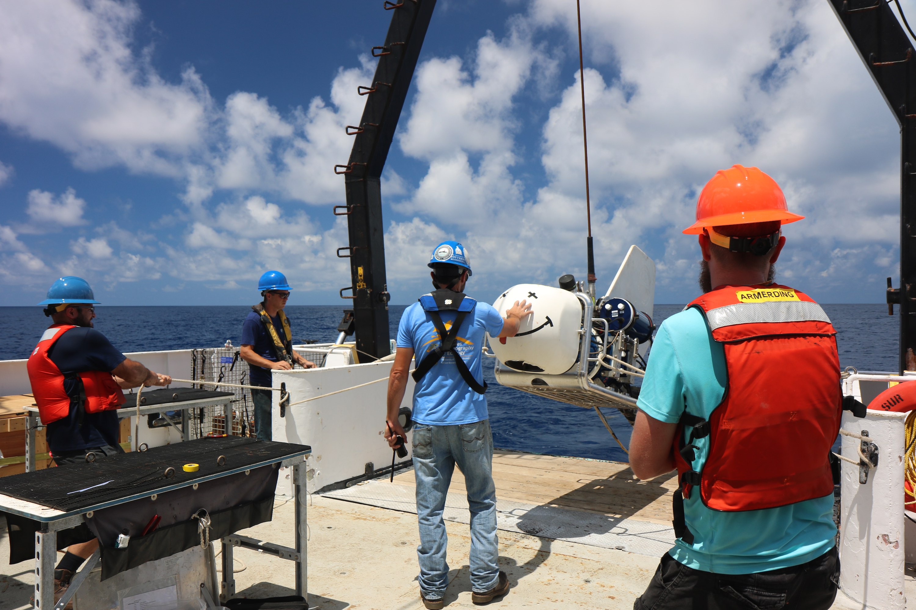
2 July. Captain Nick blessing SUESI during deployment at Orca Basin.
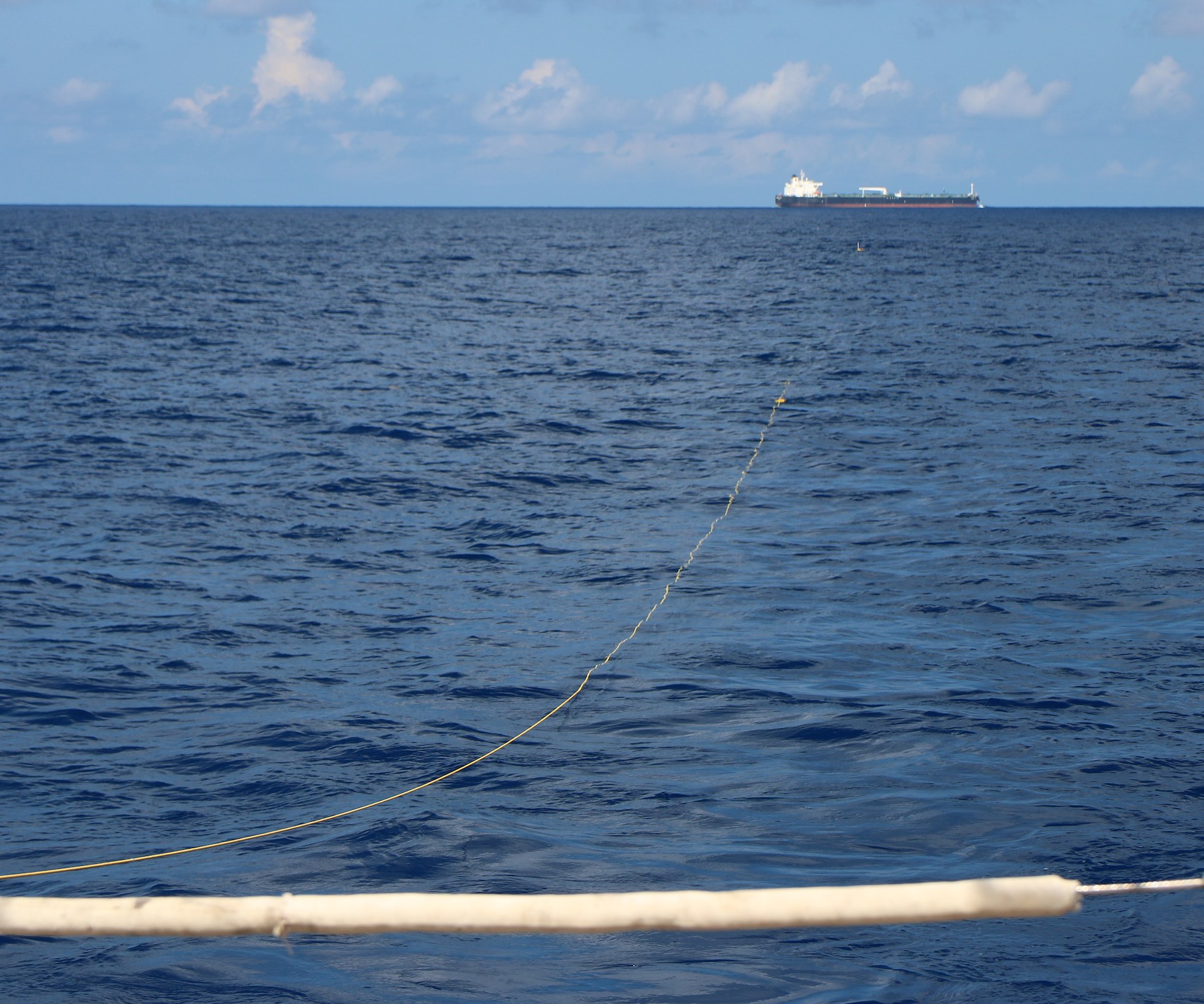
2 July. Our Vulcan array, still on the surface during deployment at Orca Basin, is nearly a mile long.
The ship is only 2 miles away, crossing our stern. These are the things that worry me.
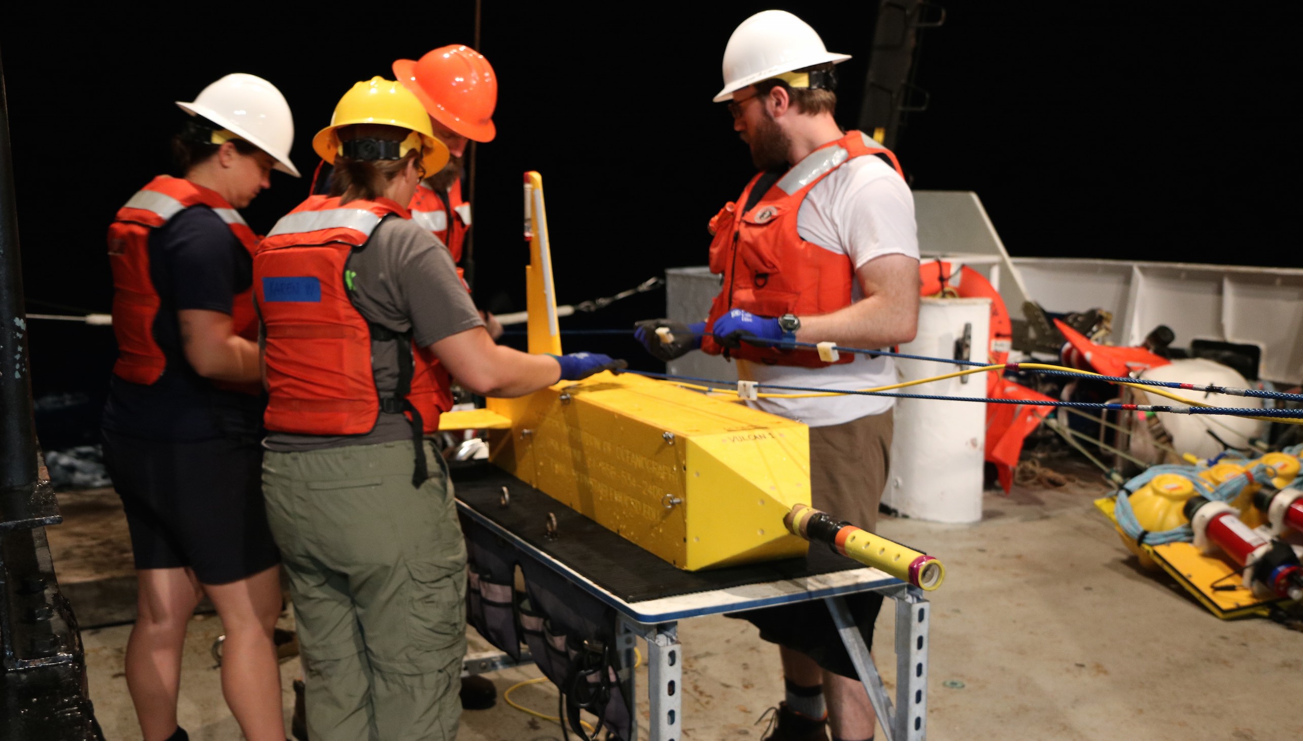
2 July, recovering the Vulcan array after the first deployment at Walker Ridge.
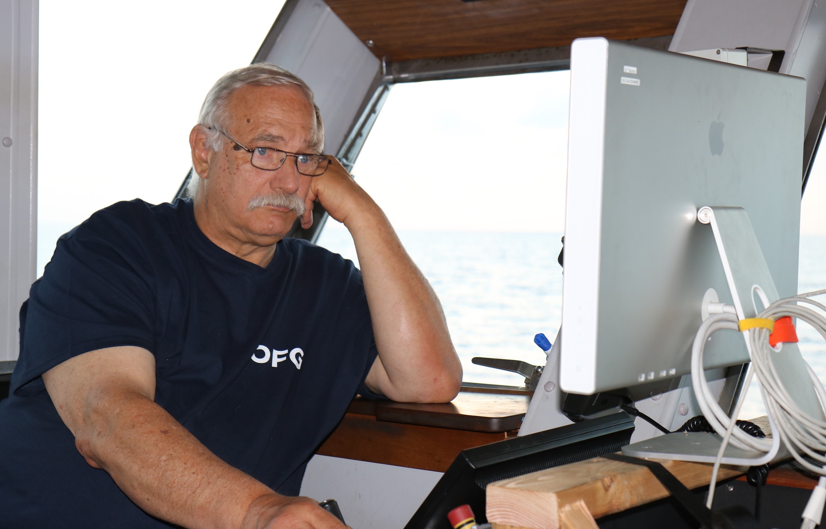
1 July, boring is good. Big Peter at the winch control.
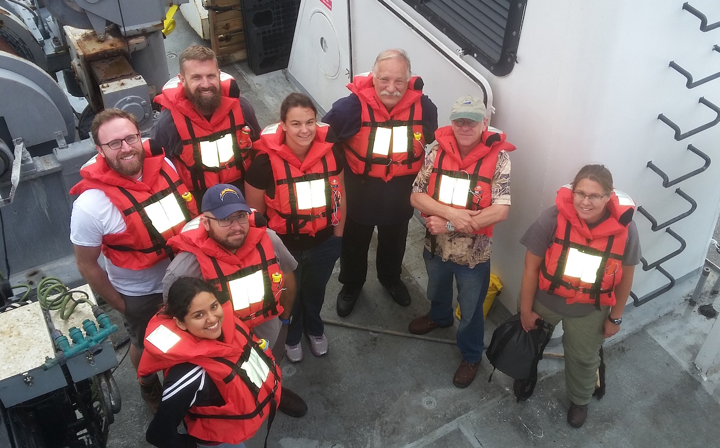
Thursday 29 June, fire and boat drill. Clockwise from left, Val, Jake, Peter, Chris, Dallas, (Big) Peter, Steve, Karen.
|