Research | Mono Lake MT
Lake-Bottom MT in Mono Lake, CA
Steven
Constable
After some noise tests in 2016, in August 2017 we collected 21 lake-bottom MT sites in Mono Lake. This work was done in collaboration with Jared Peacock of the USGS, who
has been using MT to image hydrothermal and magmatic systems in the Mammoth Lakes area. He has a big hole in his data where the 20 km wide Mono Lake sits.
Download the abstract from the EMIW 2018 meeting
Download the slides from the EMIW 2018 meeting talk
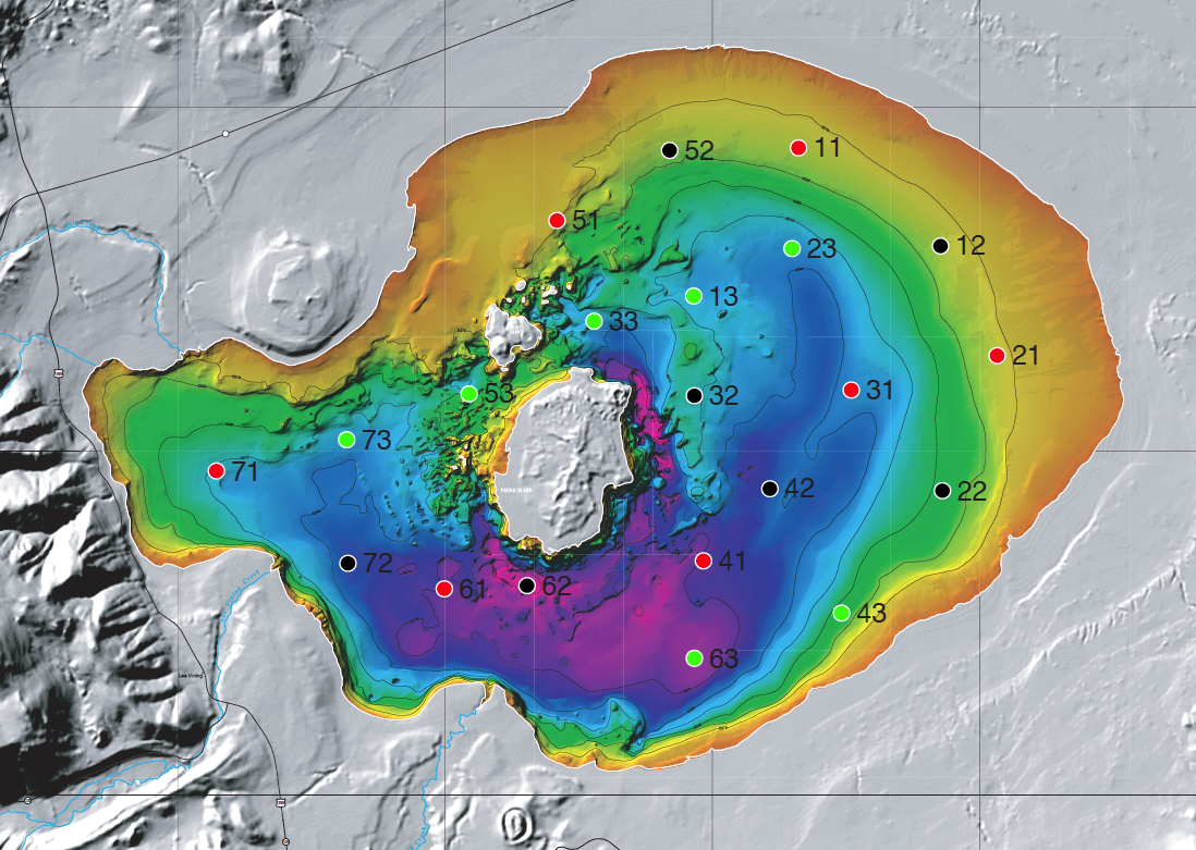
Location of the MT sites. First digit is the instrument number, second digit is the deployment number.
Bathymetry from United States Geological Survey
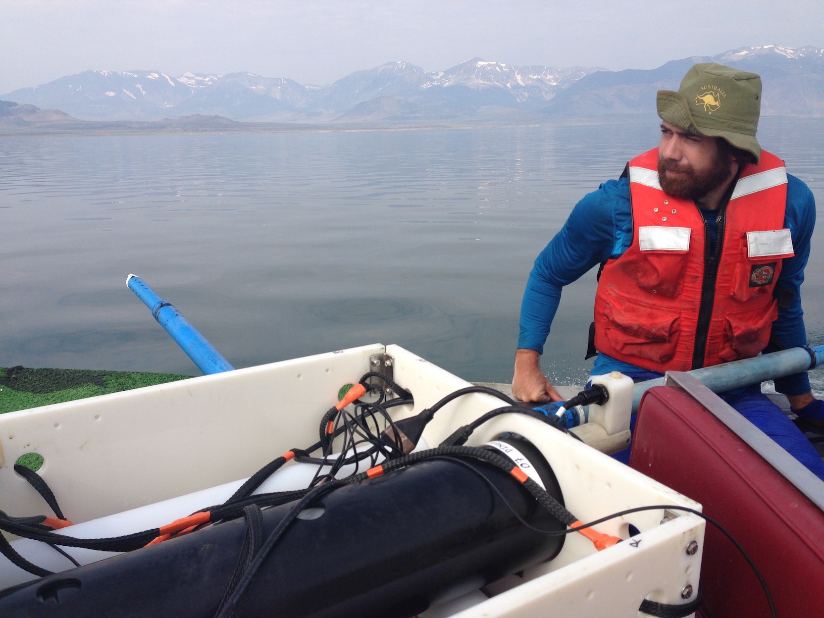
Jared and an MT instrument being moved from one site to another.
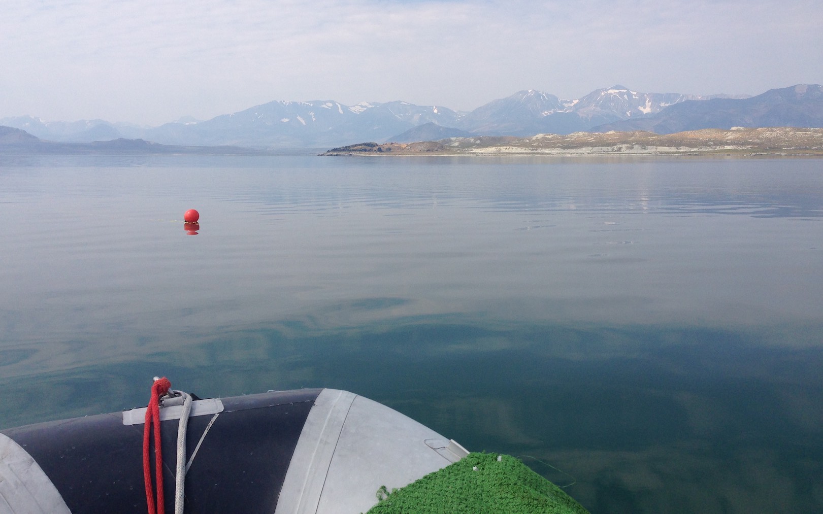
Surely there are worse places to work! |

